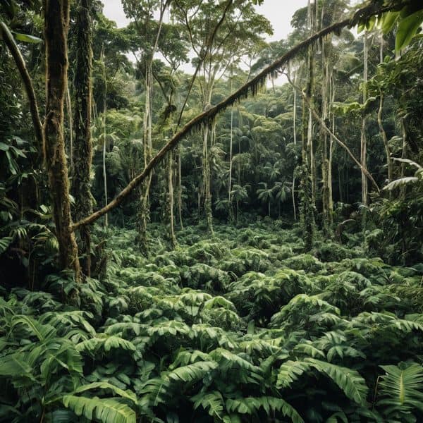
In July, Fijian farmers begin a seasonal ritual: watching wild yam vines to see whether they will creep along the ground or climb upright — a simple sign that, according to traditional ecological knowledge, can signal the likelihood of a cyclone months ahead. That local practice has now moved from folklore toward formal weather planning, with the Fijian Meteorological Service announcing in 2024 that it will begin integrating traditional environmental indicators into its scientific forecasting system.
On his farm in the dense jungle of Vanua Levu, farmer Marika Radua checks the yams as part of an annual assessment that shapes planting and preparedness decisions for the November-to-April hurricane season. “If they see wild yam vines creeping along the ground, there’s going to be a hurricane,” he says. “If the vines shoot upwards, it’s unlikely a hurricane will hit.” Radua and other islanders also look for changes in the behaviour of bees, the appearance of breadfruit and bananas, and other ecological signals that older generations have long used to anticipate extreme weather.
The move by Fiji’s Meteorological Service to formally recognise those signals — describing the pairing of traditional and scientific knowledge as “a total package” — reflects a broader Pacific trend. Vanuatu, Tonga, Samoa, Niue and the Solomon Islands are participating in an ongoing regional effort to fold locally observed indicators into national early-warning systems, driven in part by the Secretariat of the Pacific Regional Environment Programme (SPREP).
Siosinamele Lui, SPREP’s climate traditional knowledge officer, says traditional indicators are especially valuable for remote communities. “You’re looking at the biggest ocean in the world, and you have thousands of islands that are widespread. You don’t have monitoring equipment on every island,” she told reporters, noting the cost and sparse distribution of instruments leave gaps in meteorological data. SPREP has been studying such natural indicators since 2016, and islanders have been reporting observations directly to the Pacific Meteorological Desk via calls, messages, social media and local climate centres.
Some practical tools are already being piloted. Vanuatu’s ClimateWatch app, for example, maintains a crowd-sourced database of natural indicators — including instances where green turtles nest further inland, which has been associated with approaching cyclones. But Lui cautions that incorporating traditional observations into formal forecasts is not instantaneous: “You cannot integrate a data set that’s only five years old with a data set that’s 100 years old,” she said, stressing that governments need to study correlations between indicators and recorded weather events before embedding them in models.
For farmers like Radua, the adoption of traditional indicators into official systems is welcome but not a replacement for science. Traditional knowledge, he says, is rarely “black and white” — it is one tool among many for reading seasons and planning livelihoods. Scientists and meteorologists aim to treat it similarly: as complementary information that can extend reach and timeliness of warnings, particularly where monitoring networks are thin and climate-change-driven disasters are increasing in frequency and intensity.
As the hurricane season approaches in November, the formal recognition of practices such as yam-watching marks a tangible development in Fiji’s preparedness strategy. By validating community observations and building methods to test and translate them into usable warnings, officials hope to give remote communities extra lead time to prepare for storms that satellite data and conventional instruments might miss until it is too late.
Leave a comment