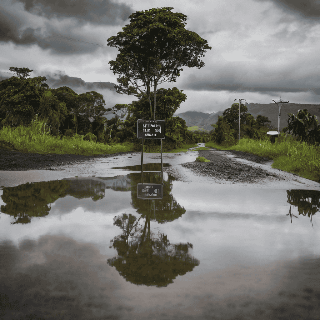
Tropical Cyclone Urmil is not a direct threat to Fiji, according to the latest update from the Fiji Meteorological Office. However, its associated rain bands and troughs are leading to heavy rainfall and strong winds across the Western Division. Director Misaeli Funaki reported that nearly 200 millimeters of rain has fallen in the past 12 hours, with wind gusts reaching up to 90 kilometers per hour.
Currently, the cyclone is located approximately 580 kilometers south of Nadi and is moving towards the southeast. In light of the adverse weather conditions, a flood warning remains in effect for low-lying areas along the Nakauvadra River in Rakiraki, the Naseyani at Yaqara River, as well as the Tavua River and the flood plains of the Ba River. Additionally, a flood alert has been issued for regions close to the Nadi, Nawaka, and Tuva rivers in Nadroga, with water levels in Rakiraki, Tavua, and Ba exceeding both alert and warning thresholds.
Residents are advised to take precautions, stay safe, and keep a close watch on the evolving weather conditions. Strong northwesterly winds are continuing to impact areas including Kadavu, the Western Division, the Yasawa and Mamanuca groups, as well as the Lau and Lomaiviti islands. Tide levels have also risen significantly, reaching 2.23 meters in Lautoka and 2.01 meters in Suva, which heightens the risk of river flooding.
The forecast indicates that heavy rainfall coupled with isolated thunderstorms is expected to persist until Tuesday, with continued gusty winds in exposed regions. Coastal communities may experience rough seas, prompting warnings for those living in these areas to remain indoors and avoid low-lying locations. Overall, while Cyclone Urmil is not an immediate danger, the associated weather effects are being closely monitored as safety remains the top priority for Fijians.
Leave a comment