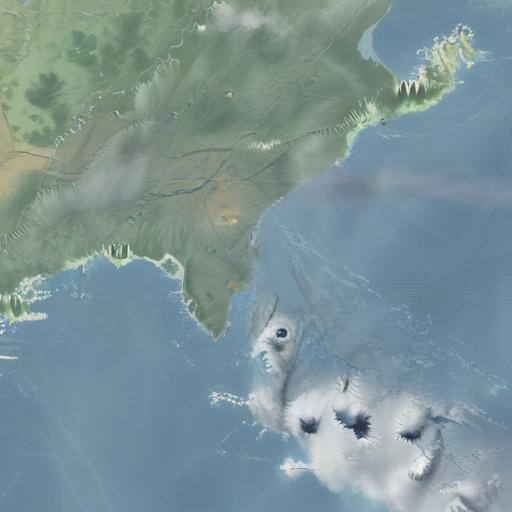
Tropical Cyclone Rae has intensified to the upper range of Category 2 as it moves south-southeast, distancing itself from the Fiji Group. As of 6 AM today, the cyclone was approximately 100 kilometers south-southwest of Ono-i-Lau, traveling at a speed of 23 kilometers per hour, as reported by Amit Singh, Acting Manager of the Fiji Meteorological Service.
Singh emphasized that wind speeds will begin to diminish across most regions, leading to the cancellation of the special weather bulletin later today. Warnings for gale and storm-force winds are also anticipated to be lifted within the next few hours.
Rain is expected to persist this morning, with periods of heavy downpours easing in the evening, though light showers will continue into tomorrow. Increased rain activity is predicted for Thursday as a new system near Vanuatu, designated TD 10F, intensifies. This system, currently in a favorable environment, may develop into a tropical depression and could strengthen into a cyclone within 24 to 36 hours.
While Cyclone Rae is not projected to directly hit Fiji, the associated convergence zone and low-pressure trough may bring rain and strong winds to parts of the country from Thursday into Friday.
Drawing from recent experiences with similar storms, local leaders are reminding residents of the importance of preparedness and solidarity in dealing with the impending weather. Historically, community cooperation has proven vital in mitigating the impacts of severe weather. This situation presents both a challenge and an opportunity for Fijians to unite and draw on their resilience as they navigate through the storm’s impacts.
Overall, the Fijian community’s spirit of togetherness and proactive preparations can significantly lessen the storm’s effects and contribute to their safety. As always, staying informed through local updates and preparing adequately will be key in facing the weather challenges ahead.

Leave a comment