Geospatial information plays a crucial role in the sustainability efforts of nations like Fiji, as highlighted by Paula Cirikiyasawa, the permanent secretary for Lands and Mineral Resources. Speaking at the 15th Session of the United Nations Committee of Experts on Global Geospatial Information Management (UN-GGIM) in New York, he emphasized how essential geospatial tools are for planning climate-resilient infrastructure, guiding managed retreat, and supporting sustainable land and marine management amidst climate challenges.
Cirikiyasawa pointed out that geospatial data aids in identifying communities vulnerable to climate change, mapping exposure zones, and developing effective relocation strategies to protect residents before disasters occur. His remarks underscore the practical applications of geospatial intelligence in bolstering disaster resilience and enhancing environmental management.
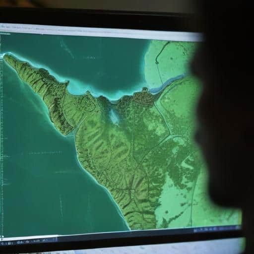
The use of high-resolution elevation and risk-based spatial data has been pivotal for Fiji in managing climate-related risks. This technology informs community relocations, guides humanitarian efforts post-disaster, and aids in marine spatial planning, reef mapping, and fisheries monitoring. However, Cirikiyasawa also noted the ongoing challenges faced, such as limited national capacities, fragmented systems, and underdeveloped digital infrastructure.
To address these challenges, he called for greater investment, institutional strengthening, and enhanced international collaboration. Cirikiyasawa praised support from UN-GGIM, the UN Global Geospatial Knowledge and Innovation Centre, and various development partners, framing the ongoing dialogue as an opportunity for knowledge sharing and collaborative strategy development aimed at sustainable community resilience.
This emphasis on geospatial technology reflects a growing recognition of its potential in disaster risk reduction and sustainable development, marking a promising approach for Fijian communities to enhance their resilience against the impacts of climate change. The concerted effort to strengthen these critical systems offers a hopeful outlook not only for Fiji but also for other nations facing similar environmental challenges.
Ultimately, the advancements in geospatial solutions signify a proactive stance towards creating a safer, more sustainable future for island communities throughout the Pacific region, reinforcing their capabilities to navigate climate vulnerabilities effectively.
Leave a comment